|
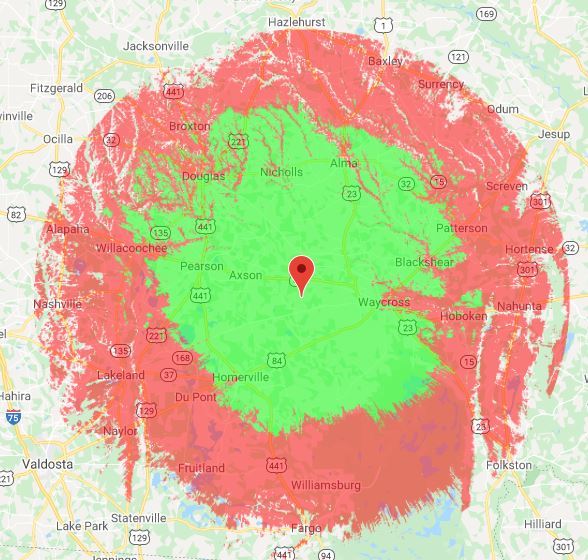
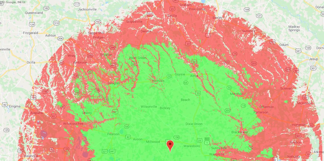
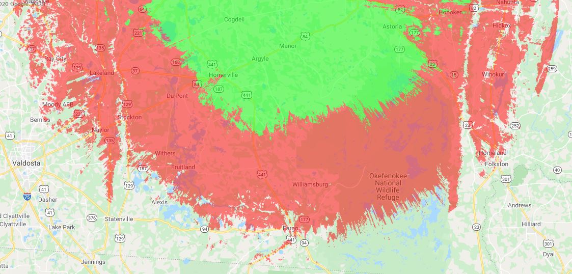
The coverage for "The 045" are a little larger due to the antenna's height above the average terrain (HAAT). The software has a km/mile limit, so some of the edges are rounded off. Again, these coverage maps are purely based on setup, configuration, and propagation. YMMV! GREEN depicts low power mobiles and handheld devices, while RED depicts coverage for mobiles with high-gain antennas and base stations with antennas >10ft above ground.
1 Comment
Leave a Reply. |
Archives
July 2021
Categories |


